

Why Drone Hardware?
Drones with cameras and sensors are powerful tools, that can enhance your productivity. For some, the joy of piloting a drone is reason enough to get one. Other’s revel in always having the latest technology and the flashiest toys. Here at CompassDrone we firmly believe that drones are tools, not toys. With a drone you can speed up your workflow, increase safety, and increase profits. From crop health to Search and Rescue, only your imagination limits where drones can be used.
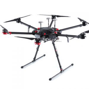
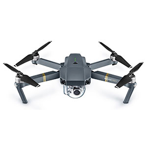
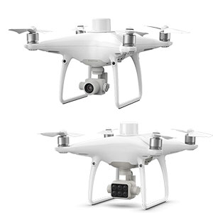
Which Drone?
Which aerial platform, and maybe more importantly, which sensor is best for you? This is a question we aim to help you figure out. With our years of experience in a multitude of industries, we can help you save time and money. It’s important to not just go out and buy whatever drone you think looks best. This can lead you down the wrong path and cost you both time and money.
What else?
There’s more to a comprehensive drone solution than just the drone. Some drones can carry multiple cameras and you might consider several sensors for your work. Some have capabilities you simply don’t need, and you shouldn’t be spending the extra money. In addition, there a dozens of software solutions out there depending on your needs. Some analyze vegetation, some help you build 3D models. Talking to people with experience will help you navigate the confusing world of drone apps and software solutions and find the one that’s right for you.
See also:
We do more than just drones! Check out CompassData for other mapping solutions and the world’s largest collection of Ground Control Points.