Accuracy Verification

Compass Verification & Validation Tools

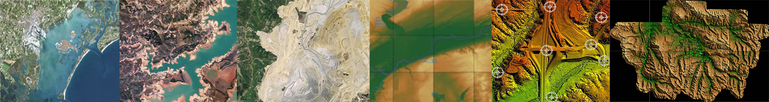
It has always been a CompassDrone differentiator that we as professionals understand the collection and processing standards necessary for providing accurate ortho-photos, DEMs and LiDAR data deliverables that meet or exceed the client’s project requirements.  A critical part of that exceptional process is the use of CompassDrone’s data verification and validation CompassAA and CompassTA software tools.  CompassAA and CompassTA are designed to provide a consistent quality check that will measure data accuracy by industry-accepted statistical standards.  And they can also produce detailed professional reports necessary for documenting the accuracy of your UAS deliverables.

    • CompassAA  Is your aerial imagery and satellite data accurate? Verify accuracy and quality automatically with CompassAA
    • CompassTA  Is your LiDAR and elevation data accurate? Verify accuracy and quality automatically with CompassTA

COMPASSAA™

IMAGERY ACCURACY ANALYSIS SOFTWARE

CompassAA™ compares the image-derived coordinates in a geo-referenced image with collected ground control data coordinates of the same location.  CompassAA verifies and validates horizontal accuracy.  The software produces consistent, standardized and professional reports.  These data verification and validation reports can be customized for data quality requirements.  Reports can display different types of error statistics (RMSE, CE90, CE95, NSSDA), a circular error plot for points and can include photos and diagrams of each point used in the analysis.

In this fast-growing market, there are plenty of providers that make claim to their data’s accuracy but have nothing to prove it. When adding CompassDrone’s data verification and validation tools in your workflow there is no uncertainty in your data, leaving you with a deliverable that sets you apart from the competition. The reports generated provide a discernible overview of your data’s accuracy, that is easily digestible for the novice (your customer), and tells a story about your data that you can stand behind.

COMPASSTA™

TOPOGRAPHIC ACCURACY ANALYSIS SOFTWARE

CompassTA™ performs a similar process as CompassAA™, except it computes error values for DEM products and LiDAR data.  CompassTA verifies and validates vertical accuracy by comparing the Z values of high accuracy independent checkpoints with the Z values derived from the data set at the same location to produce ZDEM values.  These data verification and validation reports can be customized for the project’s data quality requirements.  Accuracy reports can include several different types of error statistics (RMSE, CE90, CE95, NSSDA), and histograms for points in CompassTA™.

In this fast-growing market, there are plenty of providers that make claim to their data’s accuracy but have nothing to prove it. When adding CompassDrone’s data verification and validation tools in your workflow there is no uncertainty in your data, leaving you with a deliverable that sets you apart from the competition. The reports generated provide a discernible overview of your data’s accuracy, that is easily digestible for the novice (your customer), and tells a story about your data that you can stand behind.

CompassV&V-images

Learn More About CompassDrone Verification Tools